

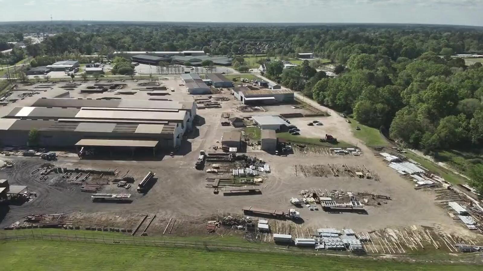
Baton Rouge · Gulf Coast
Aerial data and drone video you can actually use.
Thermal inspections, RTK mapping, site documentation and cinematic FPV for Baton Rouge and the Gulf Coast.
Services
Six ways we put a drone to work.

Thermal Inspections
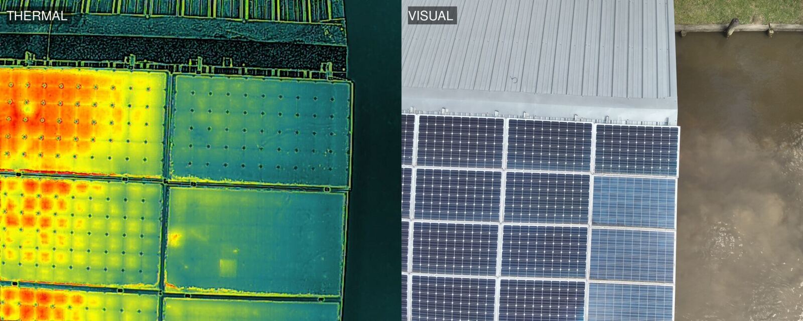
See heat problems from the air, paired with visual photos.
Explore Thermal Inspections →
Mapping & Photogrammetry
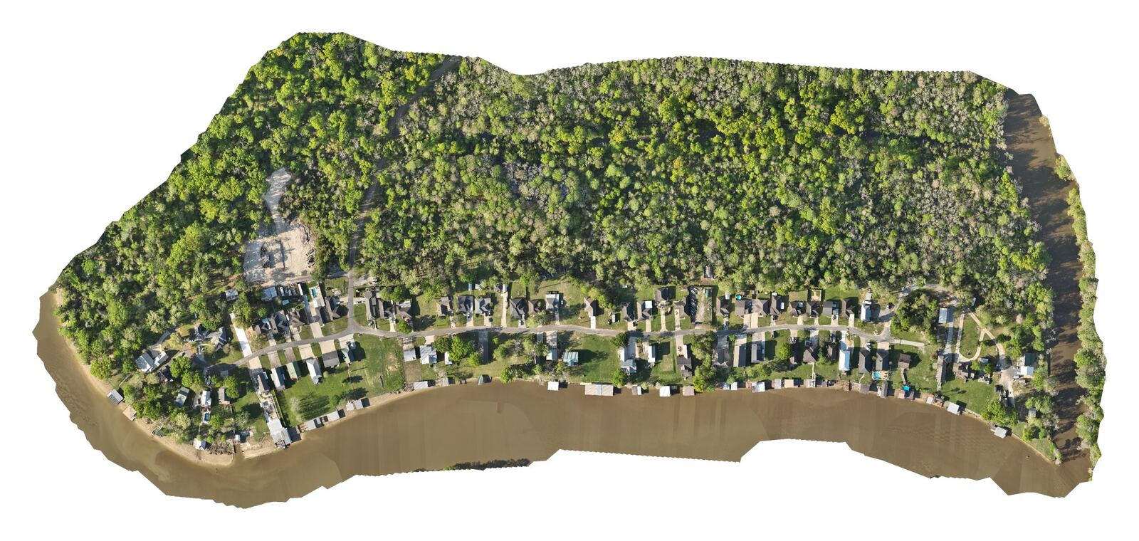
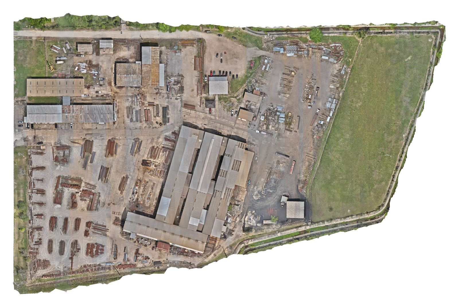
RTK orthomosaics, elevation models, contours and 3D.
Explore Mapping & Photogrammetry →
Industrial & Commercial
Plan, measure and document sites without shutdowns.
Explore Industrial & Commercial →
Cinematic FPV
Low, fast, one-take 4K. Cinewhoops for indoors.
Explore Cinematic FPV →
Real Estate
Listing aerials, video and one-take FPV fly-through tours.
Explore Real Estate →
Events
Grand openings, car shows and community events, air and ground.
Explore Events →Selected work
Real deliverables, not stock footage.
Who we work with
Answers for the people responsible for the site.
Solar installers
Find failing cells and hot connections across an array, with a thermal and visual photo of every issue and a report that shows where it is.
Thermal Inspections →Property & facility managers
See roofs, facades and the whole property without ladders, lifts or shutting anything down. Repeat the flight to track condition over time.
Industrial & Commercial →Contractors & developers
RTK orthomosaics, elevation models and contours to plan, measure and document progress on the whole site at once.
Mapping & Photogrammetry →About
Run by Aaron Wascom.
Wascom Aerial Solutions LLC is a Denham Springs, Louisiana drone company run by Aaron Wascom. We combine FAA Part 107 certified flying with thermal, RTK mapping and FPV equipment to give clients useful data and great-looking footage. We're local, insured and easy to work with.
That stick time shows in every low, tight, one-take shot, and the same discipline goes into every inspection and mapping mission.
Gear: DJI Mavic 3TA for thermal and RTK mapping, custom FPV quads, and cinewhoops for indoor work.
How it works
Three steps, no surprises.
- 01
Tell us about the site
Location, what you need to see or measure, and your timeline.
- 02
We plan and fly
Part 107 certified, insured, and planned around your operations.
- 03
You get deliverables
Paired images and reports, maps and models, or edited video, ready to use.
Ready to plan a flight?
Tell us about the site, the timeline and what you need. You'll get a straight answer and a clear quote.